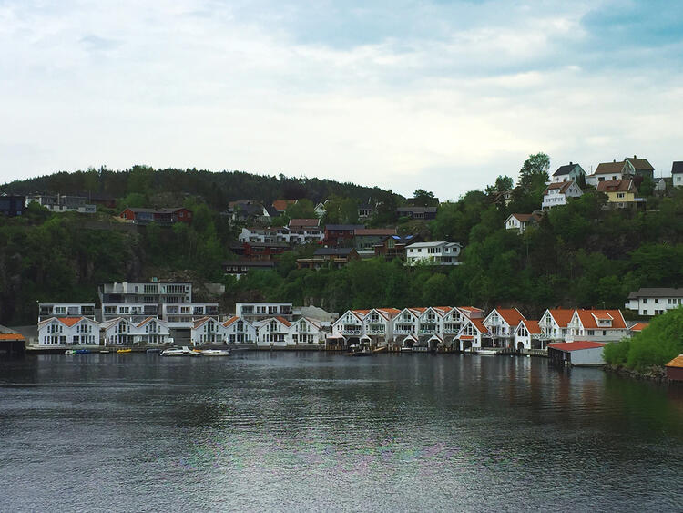
Dannevika
New apartments in the center and right on the pier. It has plenty of moorings and swimming opportunities here. Is sheltered even with a lot of sun.
Distance to City Center: about 7 min walk
Bathing places along the entire sea side
Moorings.
Distance to kindergartens: about 1 km
Rauli
Rauli is characterized by spacious houses and newer townhouses. The area is therefore particularly popular with families with children.
Distance to the center: about 2.5km
Distance to bathing place: about 1.1km
Distance to kindergarten: about 1km
Rauli is located southwest of Flekkefjord center. The field is shaped like an irregular trapezoid bounded by the fjord between Grønnes and Snerthammer in the south, a steep mountain ridge that continues north towards Raulivannet, which forms the northern boundary. The boundary to the west will be towards the older buildings on the Sundesiden.
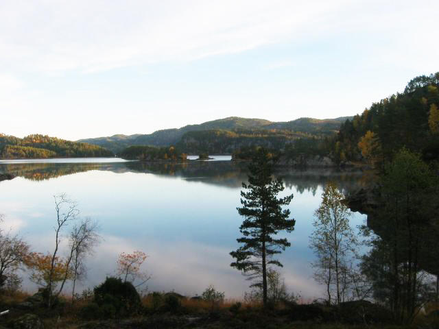
Parts of the area are restricted to development as a catchment area for the drinking water source Raulivannet and is a forest area that is also popular as hiking terrain. Grønnes and Raulibukta are the city's closest seaside beaches.
Rauli and Grønnes also each have their own kindergarten.
The area is located in south-sloping terrain, and many of the homes have a view of the Lafjord, which is the entrance to Flekkefjord. It was long held back for development, so that most of the homes are from approx. 1980 and until now.

Uenes
Uenes is a family-friendly residential area, with several playgrounds.
Distances:
Distance to primary school: 1 km
Distance to center: 1.2 km
Distance to bathing place: 2.2 km
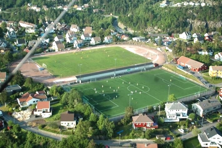
The district Uenes is located on a large boulder, which is approx. 1 km. east-west and approx. 600 m. At its widest in a north-south direction.
Until 1945, there were three farms - one with a poultry farm, some meadows and the rest a larger area that had gradually become mainly pine forest. In addition, there were some cabins, a country house and Flekkefjord Football Club's gravel court here. The main development of the area took place between 1950 and 1960.
Kråketona
Uenes is a family-friendly residential area, with several playgrounds.
Distances:
Distance to primary school: 1 km
Kråketona is a densely populated urban area approx. 2 kilometers north-east of Flekkefjord center. Access by car is from Drangeid, while pedestrians have a shortcut down to Austadvika, (so it is about 1500 m. To walk to the center, but school road about 1 km.). Kråketona was originally outfield, partly used for sheep grazing, on a plateau with some soil on top of rock and sand that was left after the ice age. The area was developed from approx. 1970, by building infrastructure such as roads, water, electricity, etc. There is still some forest on the northeast and east side of Kråketona, but a large part has been converted into a residential area. All the streets in Kråketona have bird names.
Hidra
Hidra is an island in Flekkefjord municipality which is half an hour's journey from Flekkefjord center (incl. Ferry). The island has about 550 inhabitants. In addition to the traditional Kirkehamn and Rasvågs cozy little streets and white southern houses, Hidra has a new construction site - Valås. Beautiful nature and good hiking trails can be found all over the island. The views from the island's many peaks are stunning. At Hidra you will also find the pleasant Kongshamn Brewery Restaurant, the coastal museum Fedrenes Minne, the café Fruenes Hus in Kirkehamn, a fish reception with outlets and two grocery stores - one in Rasvåg and one in Kirkehamn.
Hidra has its own primary school and a beautiful kindergarten that was new from the year 2015. Work is being done to get the island landlocked, but as of today, the connection to the mainland is via ferry or own boat. The ferry runs more or less once an hour.
Hidra is a popular holiday destination for both cottage tourists and visitors.
Gyland
Gyland an area with scattered settlements consisting of smaller hamlets. The largest of these are Nuland, Kongevold, Nedland, Mydland, Gyland Gård, Fossdal, Netland, Hegland, Klungland, Tesaker, Hjelleset, Eikås, Øysæd, Fedåg, Åtland, Eigeland, Seland, Lona, Grøtteland, Homme, Lilunden and Laugstøl. In addition to the train station, Gyland also has its own school and kindergarten. Gyland can also offer completely unique places and events such as Handverksfabrikken, the annual horse race Gyland Grand Prix, the world's longest Christmas shopping street and the fantastic play Beltespenna.
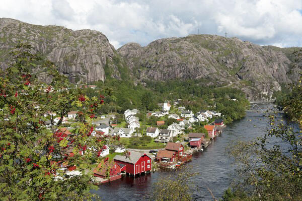
Åna-Sira
Åna-Sira is a small vill located in Sokndal and Flekkefjord municipality of which 1 third of the village is located in Flekkefjord.
It is the river Sira that divides the village and the counties of Rogaland and Vest-Agder, and thus also Western Norway and Southern Norway. It has a narrow outlet, which is called Å-Gapet. The place has approx. 200 inhabitants. The church was completed in 1888. In Åna-Sira you will find the Shrimp Factory Finny Sirevaag and Åna-Sira power station (part of Sira-Kvina Power Company).
Åna-Sira is located on the coast and is a favorite place for fishing enthusiasts. In the river Sira there are large occurrences of trout and the good salmon fishing in the autumn. The most famous at Åna-Sira are the iconic Jettegrytene, Brufjellsvarden and the beautiful little pebble beach in Sandvika by Roligheten.
Sira
Sira is a village with a little over 500 inhabitants located about 20 kms north of Flekkefjord town centre. The village home to a school, nursery, a nursing home and a supermarked. There are good travel links by bus, car and train (Sira stasjon).